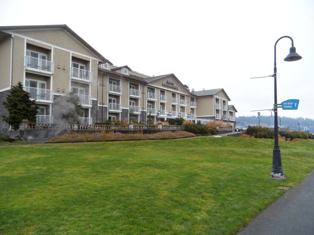
10/6 Bellingham to Clearwater
We had a little trouble getting going! We had the BMW all packed and ready but it wouldn’t start. So, we moved almost everything into the VW and took off. Later, I realized that my computer was still in the backseat of the BMW. We figured out ways around life without a computer.
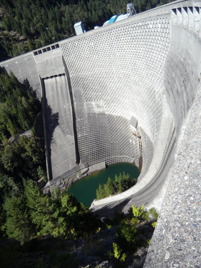
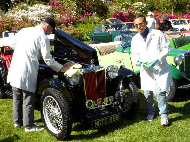
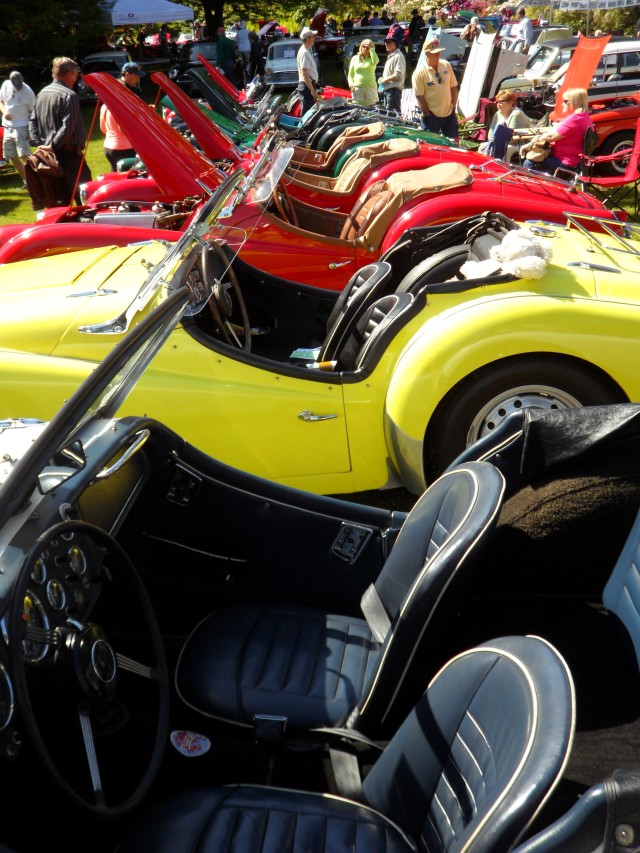
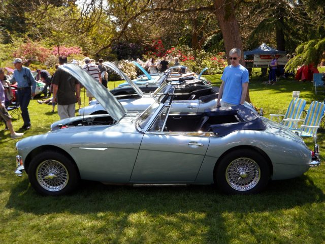
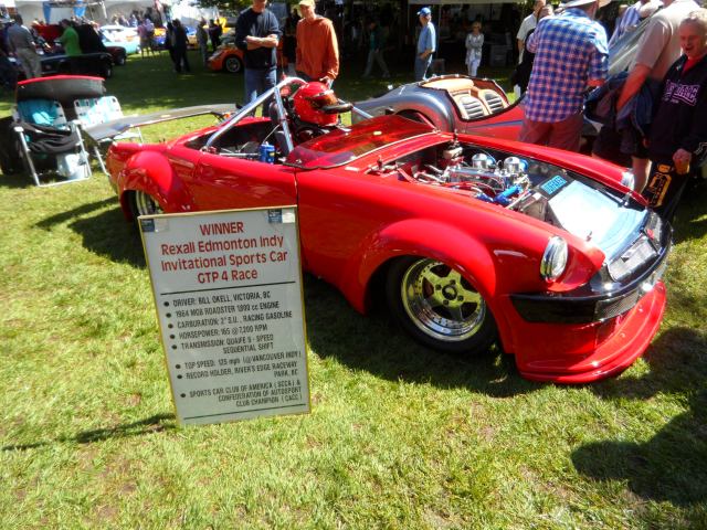
Click on the map or any picture to enlarge it.
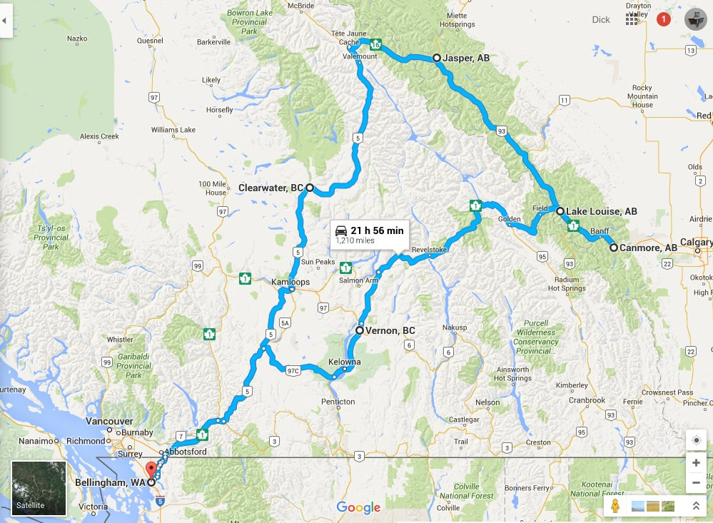
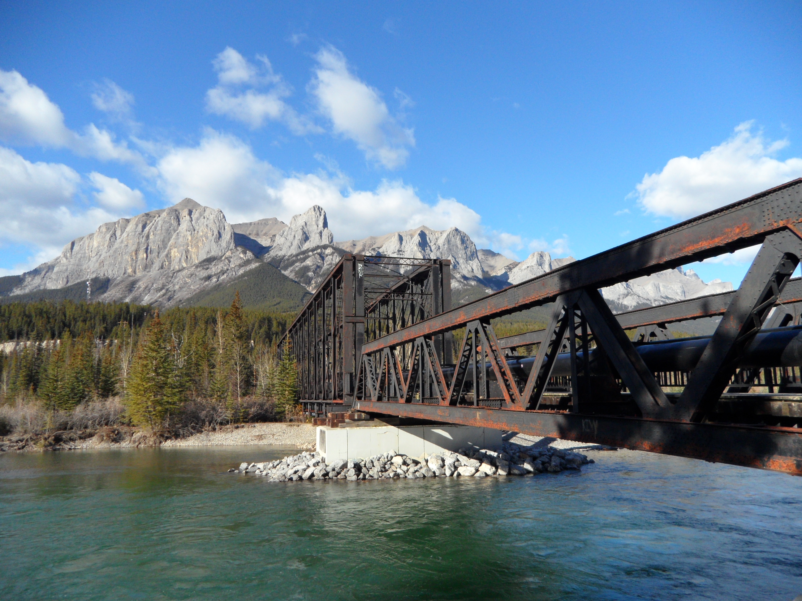
Our Route. Bellingham to Clearwater to Jasper to Banff/Canmore to Lake Louise to Vernon and home
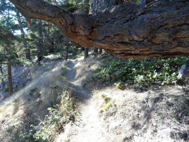
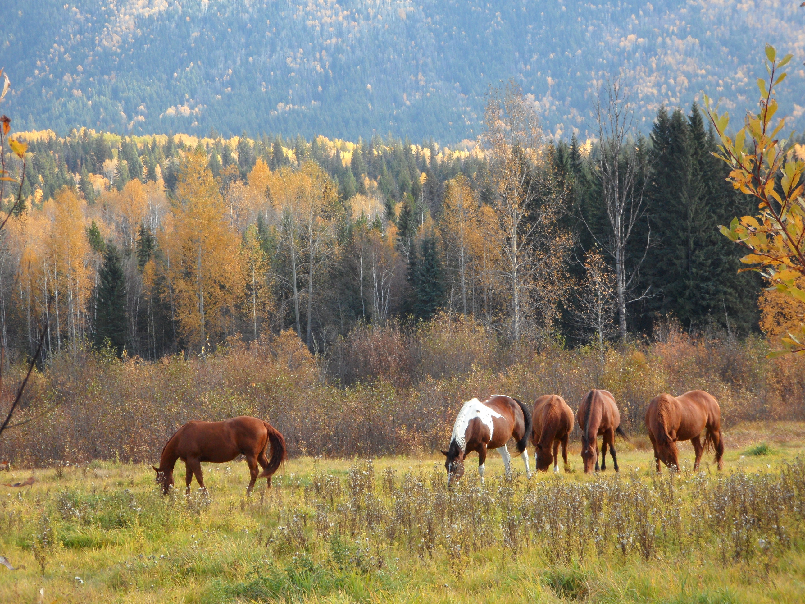
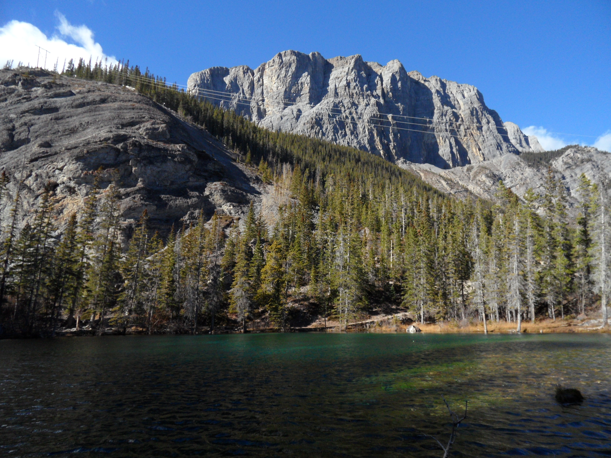
As we started into the mountains at about Hope, BC, the maple, birch and alder trees were all yellow and gold. Very beautiful against the dark green of the evergreens. When we got to the Coquihalla Highway, we also began to pay attention to the geology. This is an area shaped by glaciers! The whole trip to Clearwater was lovely – rivers, farms, big hills and valleys. After we left Kamloops, we started seeing signs telling us to remember that we were on a “high mountain road” and that we could expect sudden changes in weather. All day it was mostly cloudy, and around Barriere we could see it raining in the distance and soon we were driving in light rain.
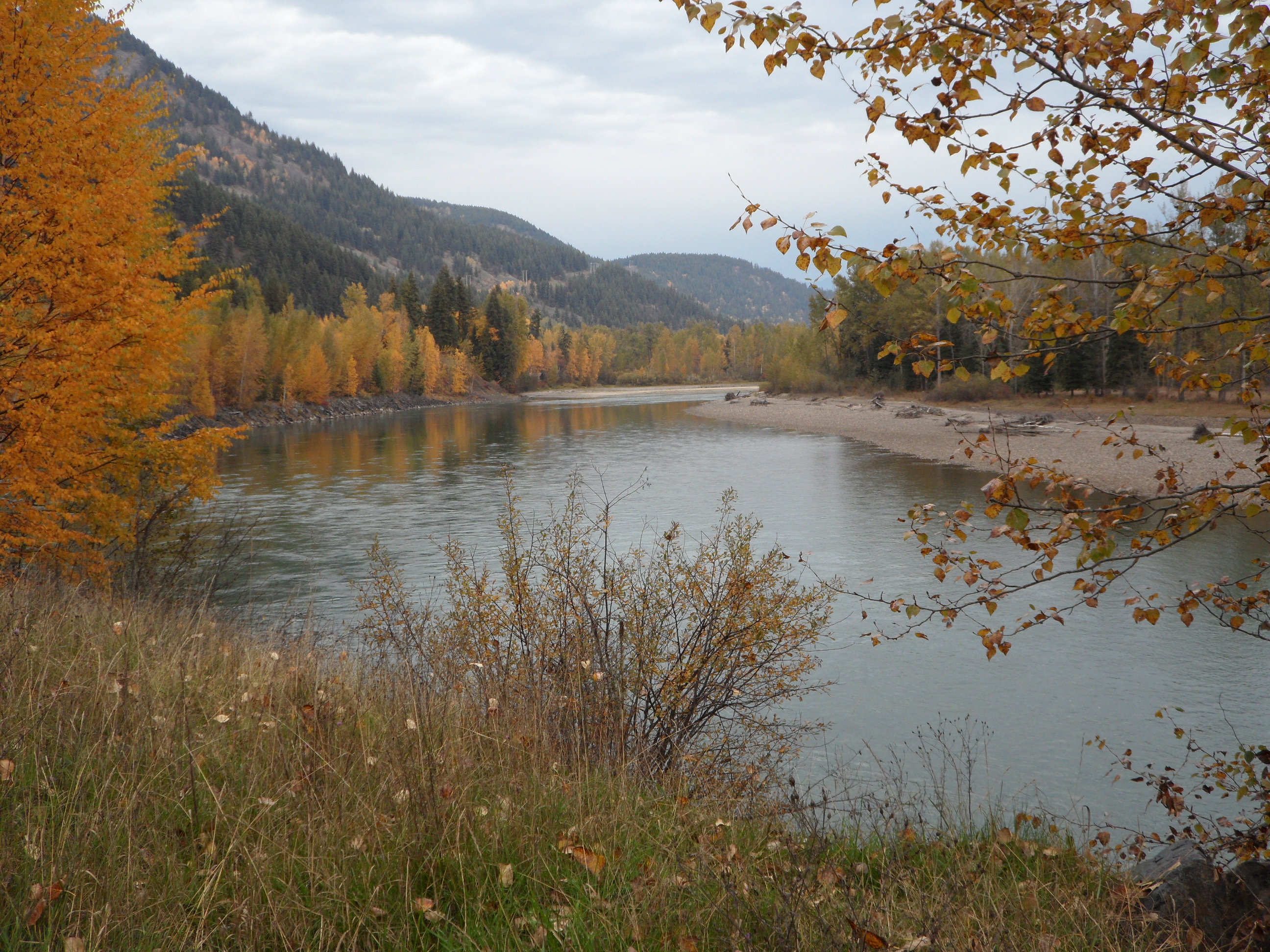
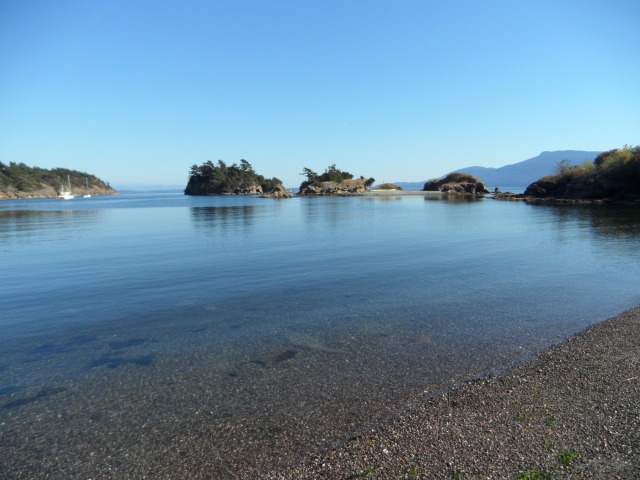
The North Thompson River near Kamloops. David Thompson was the most famous early explorer of this region.
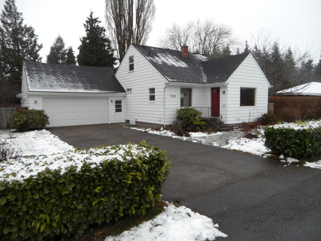
About 4 p.m., we got to Tanglewood, our AirBnB. Our host, Michael, warmly welcomed us and showed us around. He and his wife Kristen (who we never met) are transplanted Brits with 4 homeschooled kids. Michael is working on a PhD in environmental science. His dissertation is on the effects of climate change in the Caribou Region of BC – particularly on the glaciers. He was a fund of information on Wells Gray Provincial Park and on geology in general.
We had a great dinner at The Smoke House!
10/7 Clearwater to Wells Gray Provincial Park to Jasper

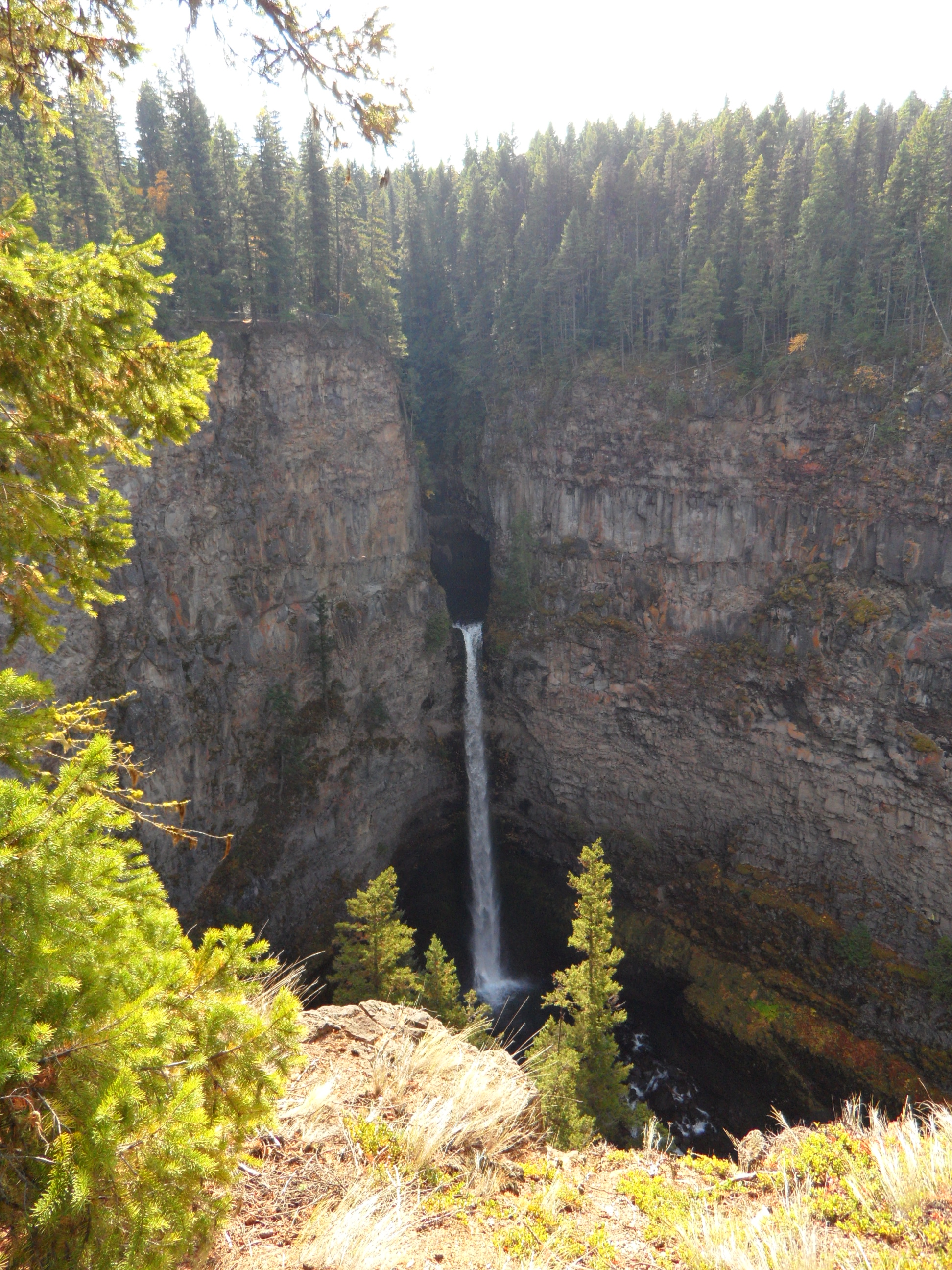
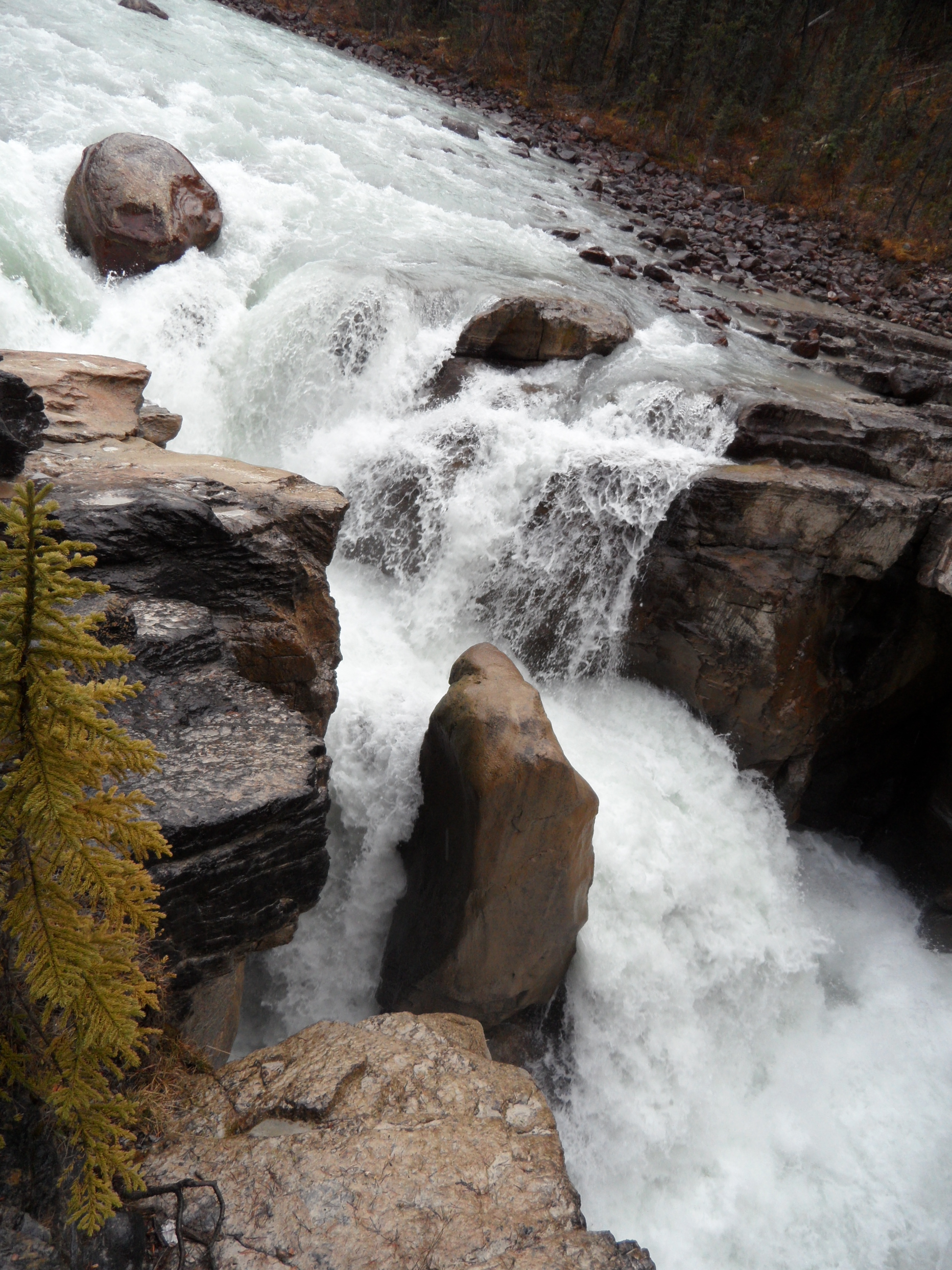
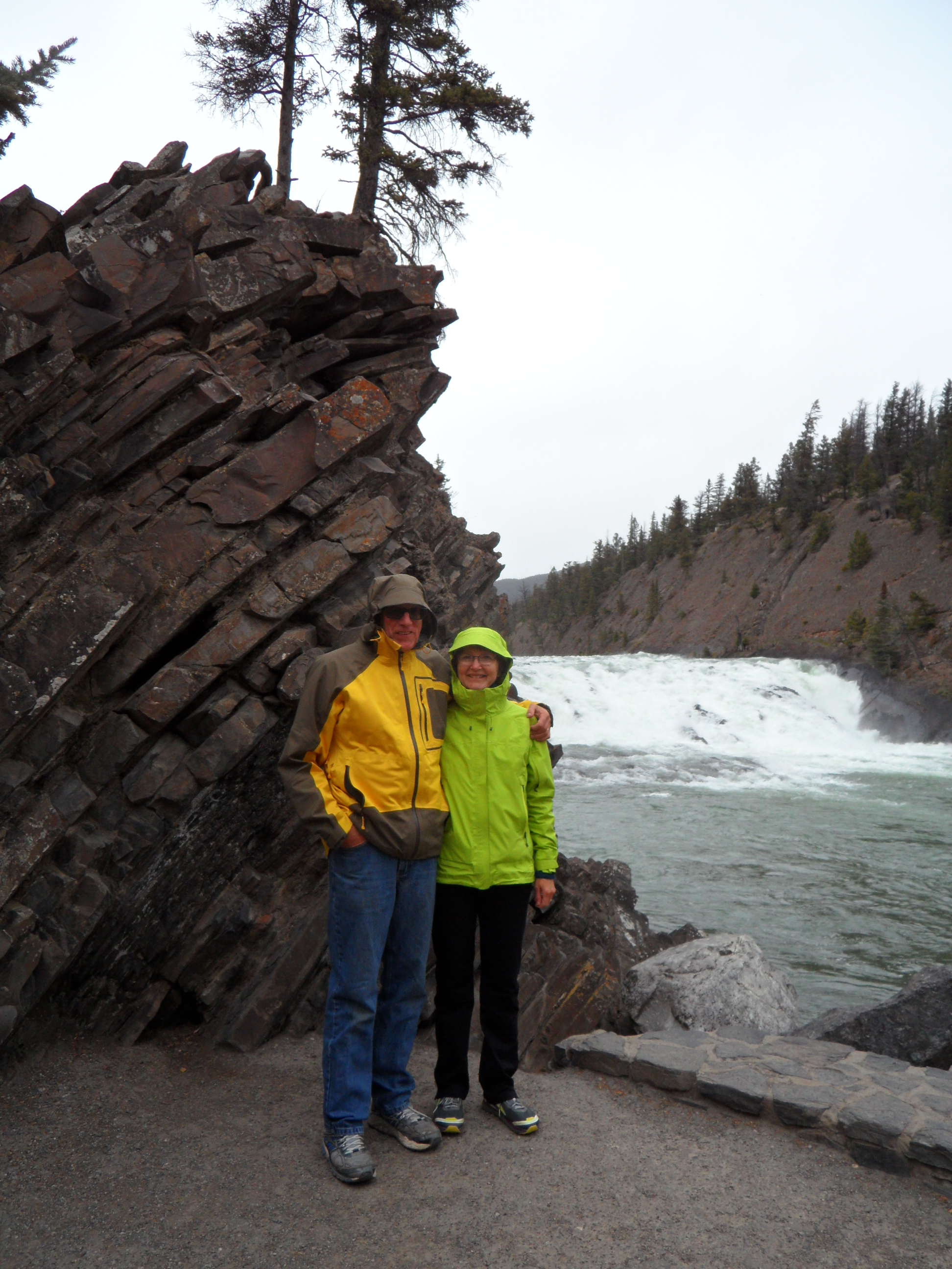
We picked Michael’s brain a little more about what to see and then headed out. He suggested four stops in Wells Gray but we only made it to three of them. Our first stop was at the Spahats Falls. On the road there we saw some signs for numbered canyons and wondered about that. Spahats Falls is part of one of those canyons. I called them “slot canyons” because they are very narrow – less than 10 feet across – and very deep. They were like large cracks in the rocks. At the bottom of each of the canyons there was a creek. At Spahats, the creek has carved the canyon deep to the edge of the rock and then the water falls 300 feet to the Clearwater River below. It was a stunning view.

The second stop was at the Green Mountain Lookout – no big deal. Our third stop was at Dawson Falls. There was a large parking lot and from the parking lot we could see the river and a bridge. We followed the signs to the trail leading to the falls and we were surprised when we came around the last corner. The waterfall was big and broad. We were glad we stopped there.

On our way through Clearwater, we stopped for lunch at the Strawberry Snack Shop for lunch. We shared a good sandwich and got samples of a terrific brownie.
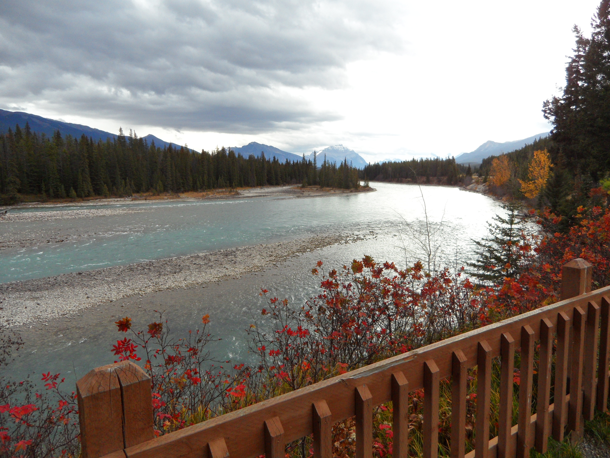
We continued to parallel the North Thompson River as we headed out of Clearwater. As we got closer to Jasper, the mountains got bigger. We stopped for a look at the ranger station below Mt. Robson. The clouds were down around the mountain so we did not get a look at the whole thing. Mt. Robson is the highest mountain in the Canadian Rockies (12972 ft).

The rangers station was closed but we walked around it and I peeked in the windows and there saw a large photo of the mountain on a sunny day. Our best view of the mountain.
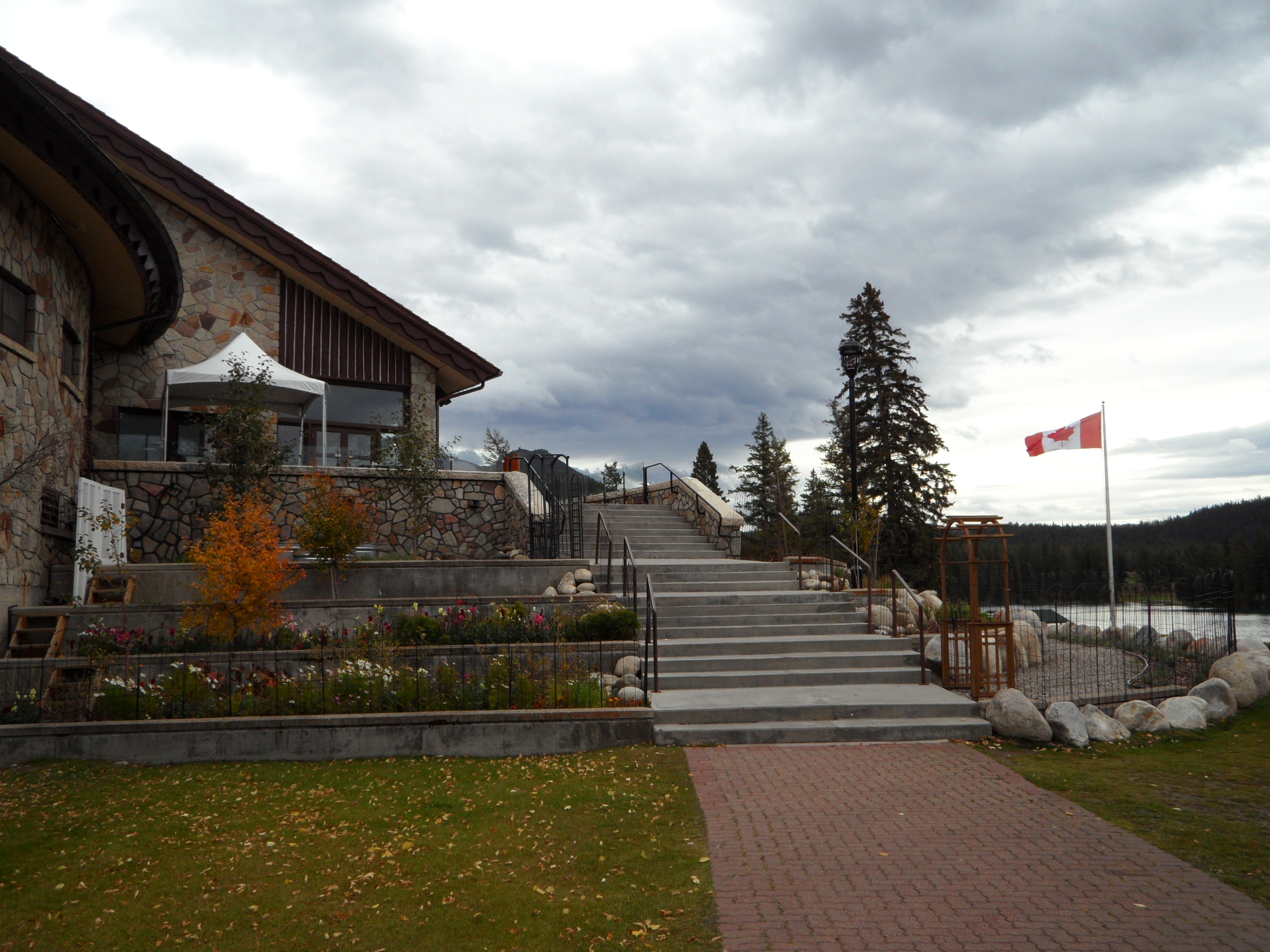
In Jasper, we stayed at All Seasons Accommodations. Gaetanne Tassoni was the host. When we got there around 6 pm, we could not figure out which unit of the duplex was hers. We walked around to the back looking for signs of life and knocked on the door where there were lights on. Lucky for us it was Gaetanne’s back door. She was surprised that we had not knocked on the front door and seemed a little huffy about it. She said she had sent instructions, but we never got them. By the time we left we had this all straightened out – a foul up by booking.com. The room was clean, comfortable and in a terrific location downtown. We could walk everywhere we needed to go for meals, information and supplies.


We ate at 4 places in Jasper, The Bear Paw and The Other Paw for breakfast, a family style restaurant and The Kimchi House. We had our best breakfasts in Jasper – morning glory muffins one day and granola the other days. Our favorite dinners were at the Kimchi House – soup! Monica, the woman who runs the Kimchi House was great! She greeted every customer and remembered us and where we were from. Her son studied at WWU and is now in med school in Miami FL.
10/8
Our first full day in Jasper, Dick woke up with a cold (I got it on Monday and gave it to him). We took it easy in the morning and spent some time talking to the gals at the Information Center about hikes, where the bears (black and grizzlies) were, and things to see.
As we walked through town we also saw a sign for the Jasper SkyTram. We decided that was at the top of our list for the day! We bought lunch supplies and cold remedies, got our stuff together and headed for the tram. Since it was October, there was no wait. We got our tickets and got right in the tram.
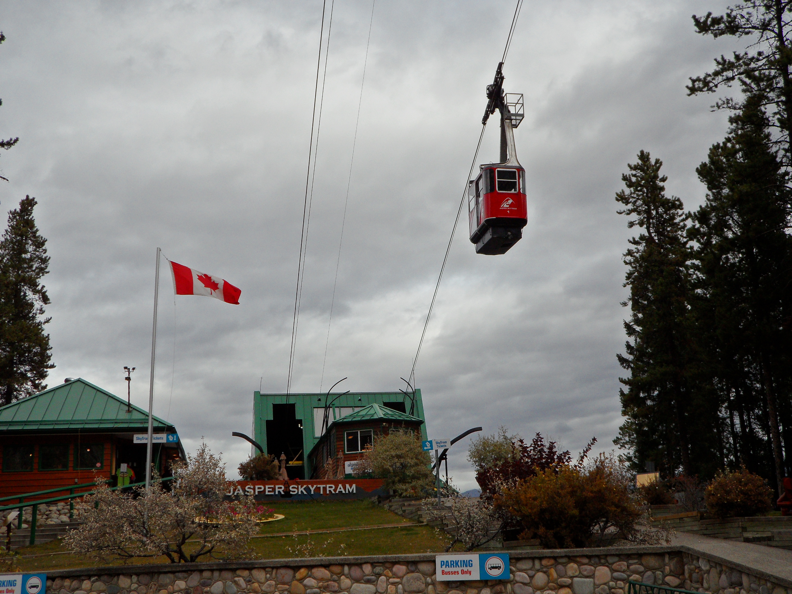
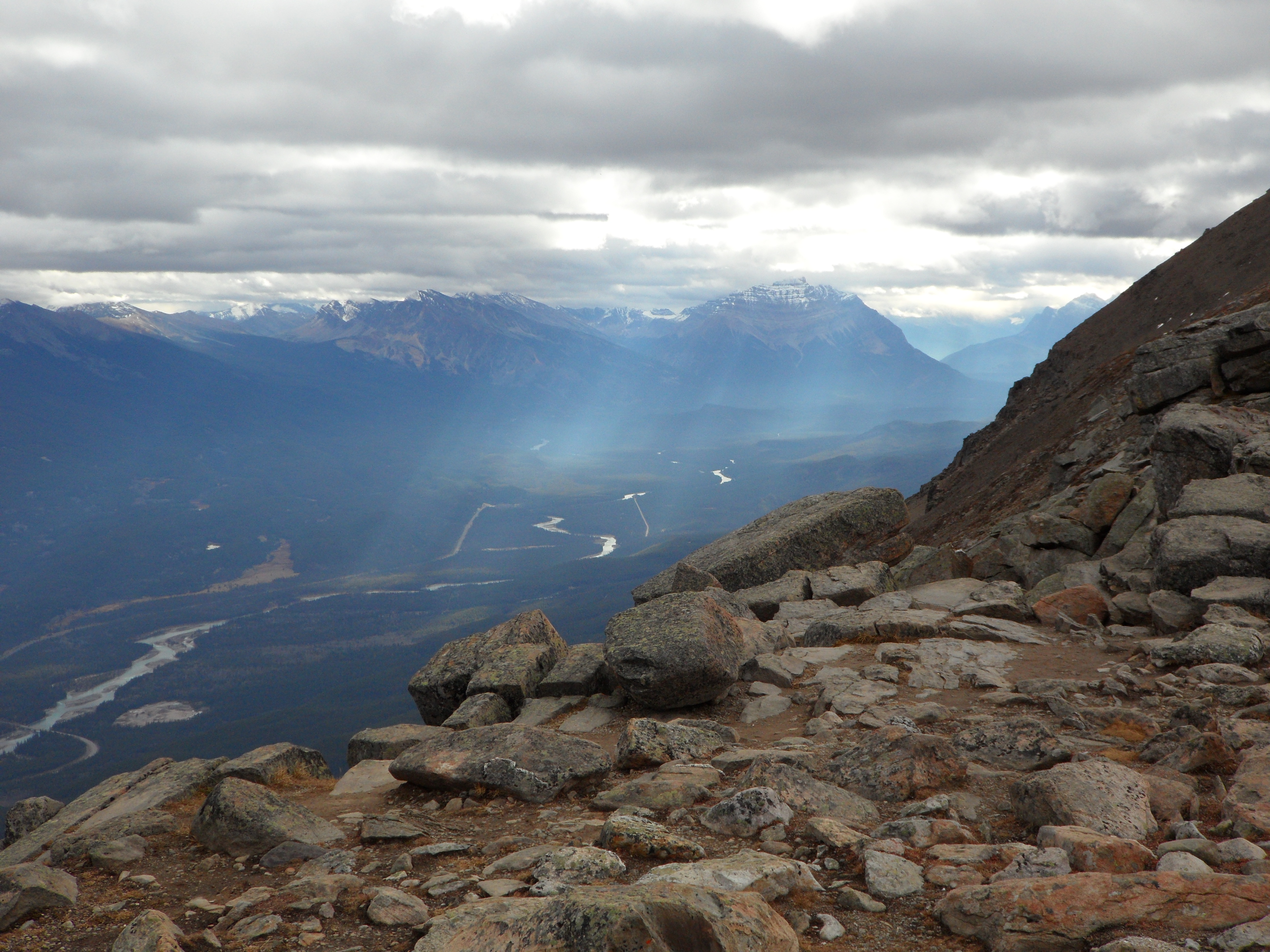
The ride up the mountain took 7 minutes. The brochure says, “Stand among six mountain ranges and overlook glacial fed turquoise lakes, flowing rivers and the scenic mountain townsite of Jasper.” All true! It was cold and windy at the top and the trails to the top went through some mushy snow fields. We only went part way up and then I chickened out – going up was fine but coming down was not for me. The views were amazing even without going all the way to the top!


Tram details: travels at 6 meters/second, 1005 meter elevation gain, upper station at 2263 meters above sea level, tram holds 26 passengers. (by the way…we started thinking in meters of elevation, kilometers per hour, and degrees centigrade pretty quickly. The transition is not that difficult. We also got used to road signs in both English and French and hearing lots of French accents).
We ate our lunch in the upper station and headed back down.
On our way back, we stopped to check out the hostel on Whistler Road. The desk person was out to lunch so we looked around a bit. We saw the kitchen area with at least 4 prep stations (stove, oven, sink, counter space and storage at each station), and the living room with comfy furniture. We didn’t feel comfortable exploring further on our own so started to leave. There was a guy putting his shoes on in the entrance hall and we asked him if he was staying there. He told us that he was staying at the Edith Cavell hostel but that he’d come down the mountain to take a shower. He was from Maine and was driving an old Mercedes station wagon with 400K+ miles. He had lots of good stories.
We stopped at our room for a cup of tea and to gather our swim suits. Our next stop was the Miette Hot Springs. It was a long drive – 27 miles to the turn off and then another 9 miles to the hot springs. Along the way there was a bunch of road construction and then a small herd of Big Horn Sheep in the road.


The traffic mostly stopped for the sheep. Just a bit in front of us, a little girl was out of her family’s car and was walking toward the sheep in the road. We were stunned! Wild sheep, big trucks and traffic that was creeping through – it didn’t seem at all safe. Even so, it was a thrill to see the sheep close up! We got several photos.

As we wound our way up the road to the hot springs we started noticing a huge rock ridge to our left. At a view spot we learned that it was the Ashlar Ridge – ancient limestone (530 million years old) that was lifted as 2 tectonic plates collided. Our interest in the area’s geology grew and grew the more we learned.
The hot spring was a big deal – lots of parking, well developed facility. We paid our entrance fee, rented towels and got ready. The hot pool was as big as a good sized swimming pool. It was shallow at one end and up to my chin at the other. 104º F. Perfect for us with our colds. We sat in the water until we were totally pruney and hot clear through.
This was the first night we ate at the Kimchi House. Delicious soup!
10/9 – Still in Jasper
On the way back to our room after breakfast, we got our usual lunch supplies: carrots, bananas and cough drops. We also got a bottle of cough syrup. Dick’s cold was ruling the day.
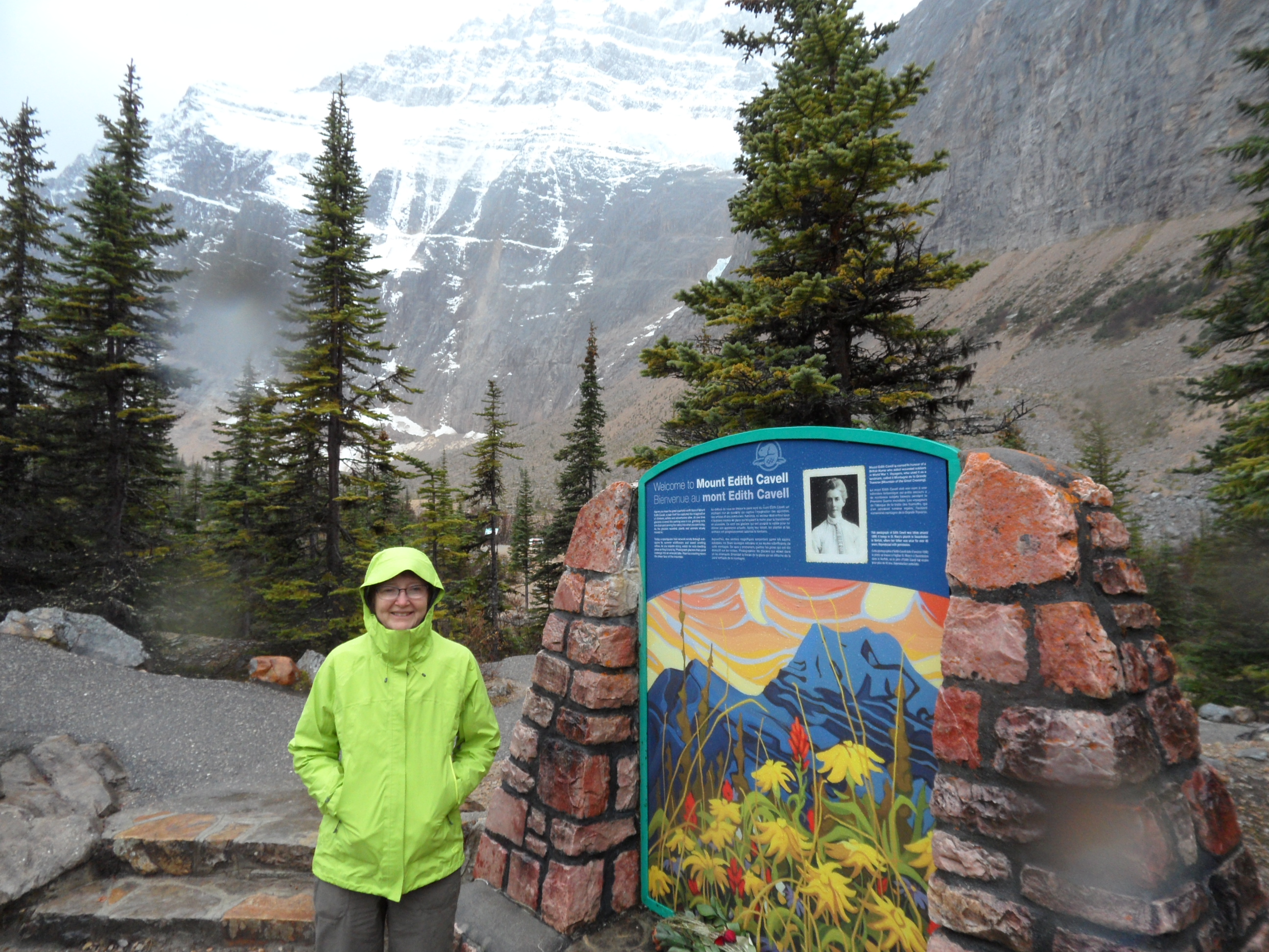
Our first outing was to Mt. Edith Cavell – named for a famous and much loved WW1 nurse. The road up the mountain was winding and mostly in the trees. All of a sudden, though, as we came around a corner, we got a big view of the mountain and glacier.

We passed the hostel where our new friend was staying and headed for the parking lot. Our friend had warned us that the entrance to the parking lot was a little odd. Last year, a chunk of the glacier had fallen into the lake and caused a “mini tsunami” which filled the parking lot with rocks and gravel from the lake bottom. All that was still there, along with the barriers erected to keep the majority of the gravel and rocks off the road. Our friend’s Mercedes was in the parking lot but we did not see him. When we first got there we could clearly see the mountain but soon we saw weather moving in and before we knew it, we were in the middle of a driving rain storm.

We did not stay long and we didn’t do any hiking. On our way back we stopped to look at Becker’s Chalets right along the Athabasca River. That would be a good place to stay for easy hiking on Mt. Edith Cavell.
Next, we took off for a look at the Jasper Park Lodge and then Lake Maligne.
The hotel was on a big piece of property and was quite spread out. It looked like a fun place to stay.
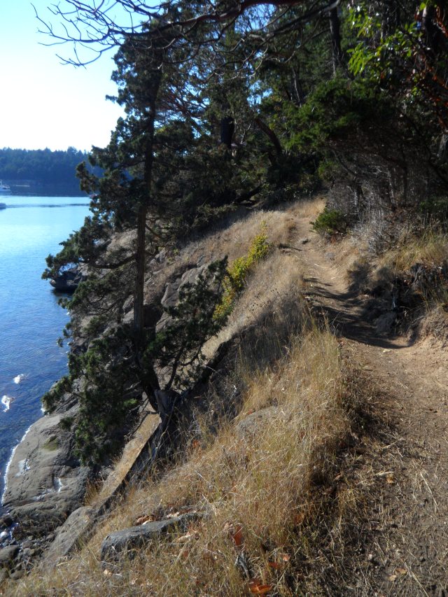
On the drive to Lake Maligne (say it like a Canadian: Muh-lean) we stopped at Maligne Canyon, where Dick rested in the car and I went sight seeing. It reminded me of Spahats Falls but with more places to actually see into the canyon. There were huge bowls carved into the walls of the canyon. All beautiful. I walked much more of it than I thought I would – it was too fabulous to leave with out seeing it.
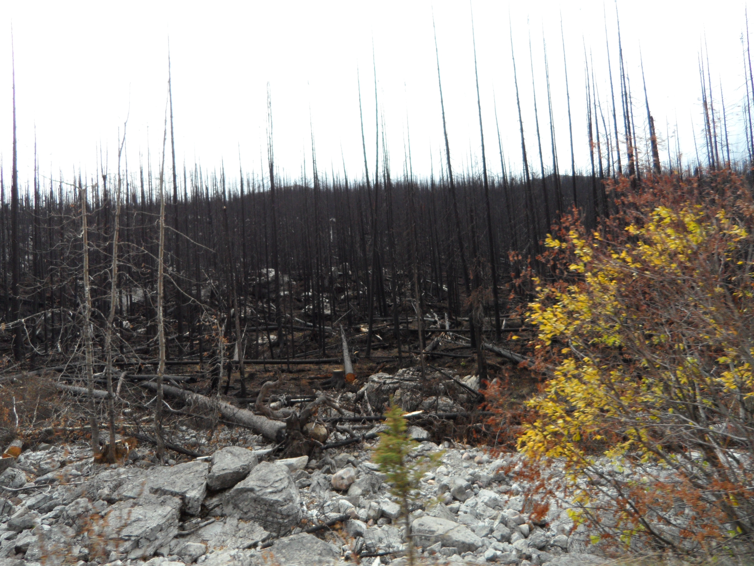
As we got close to Lake Maligne we came to a large, recently burned area. Everything was black. This was the site of the 2015 Excelsior Fire. It was started by a lightning strike and then blew up into a major fire.
We also saw signs warning us to watch for Caribou but we didn’t see even one.
Before we got to Lake Maligne we passed by Medicine Lake, which was almost empty.
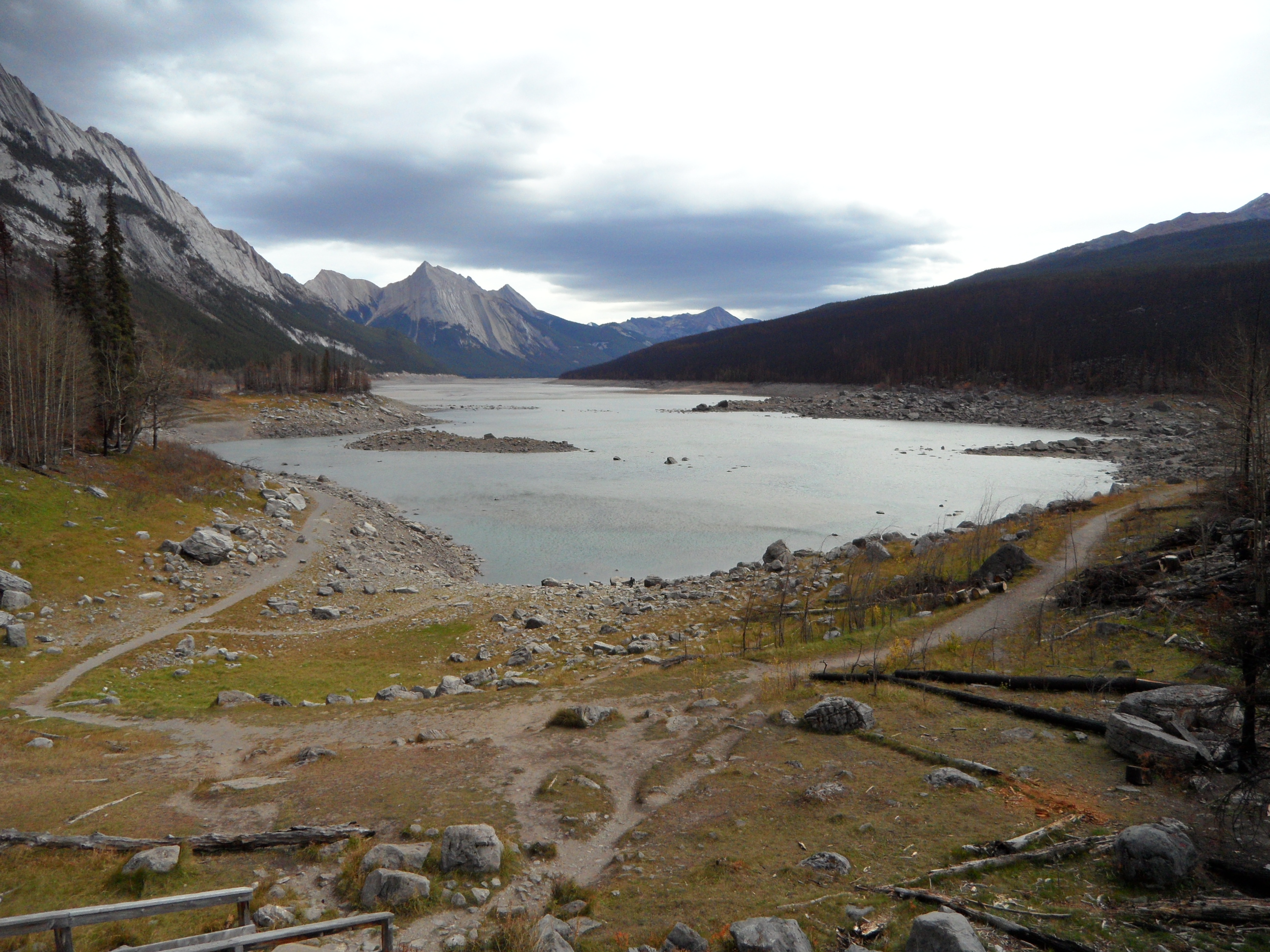
We later read that Medicine Lake fills in the winter and spring but has a gravel bottom that allows the water to drain out into the Maligne Karst. Wikipedia says this about the Maligne Karst:
“Medicine Lake is a geologic anomaly in the sense that it is not actually a lake but rather an area in which the Maligne River (flowing from Maligne Lake into the Athabasca River) backs up and suddenly disappears underground. During the summer months during intensified meltwater runoff the lake (which during the winter months is a meandering frozen river) fills to levels which fluctuate over time and with the runoff events. Much like a bathtub that is filled too fast for it to drain, it becomes laden with water (lake) until it can slowly drain as the tap flow (runoff) is reduced (river). The underground system is extensive and during the 1970s researchers used a biodegradable dye to determine the underground river’s extent. The dye showed up in many of the lakes and rivers in the area to the point where it became clear that the underground system was one of the most extensive in the world.”

All this geology was fascinating to us!
After so much excitement, Dick needed a nap, so we headed back to our place for a rest before dinner. More Korean food!
10/10 Jasper to Lake Louise
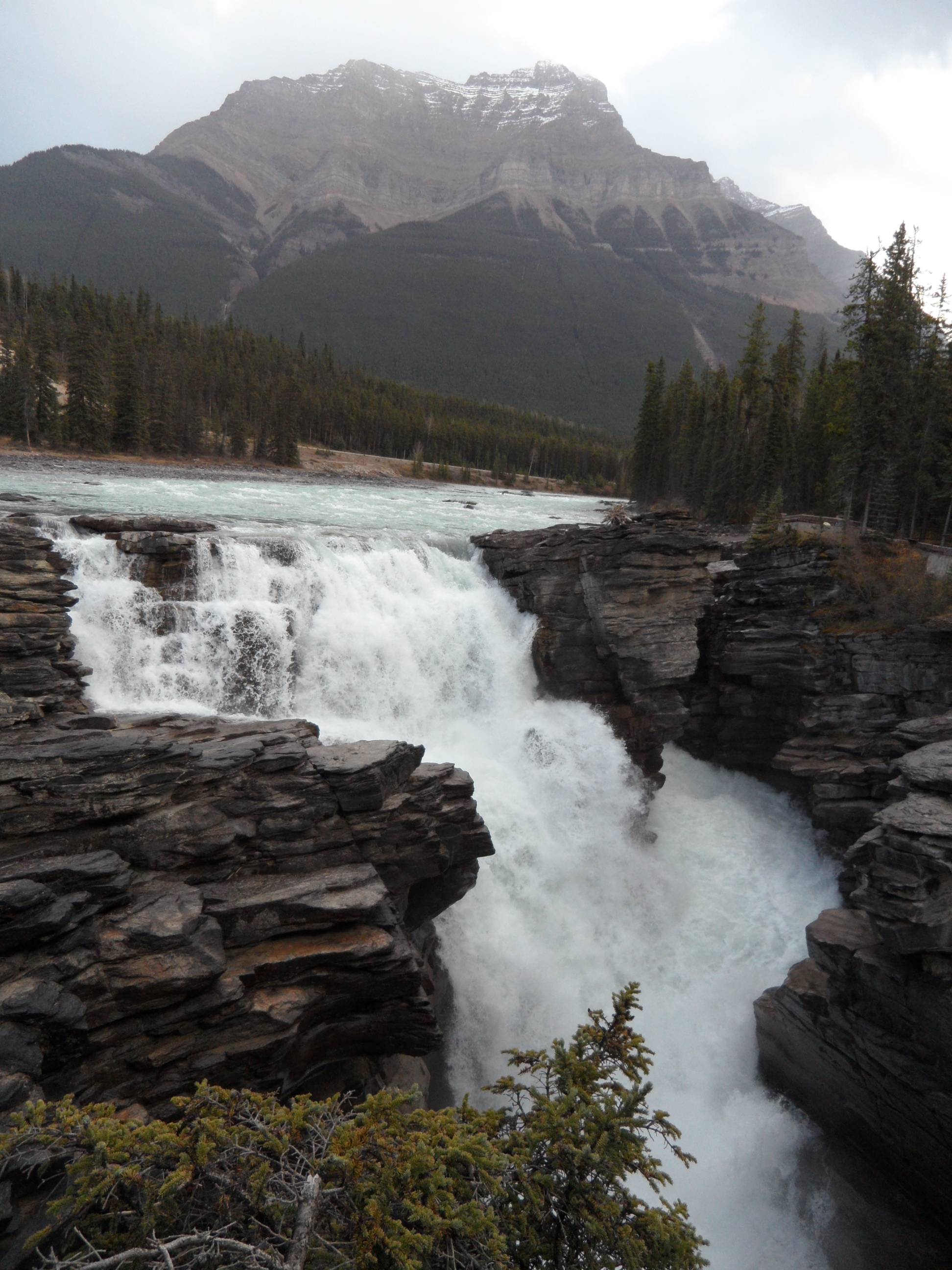
We settled up with Gaetanne for our room and headed out. I was the driver for most of this rainy day. We had a map with all the scenic stops on the Icefield Parkway noted. Our first stop was at the Athabasca Falls – more canyon and waterfalls.


This was an old channel that the river abandoned some time in the past.
Next up, the Sunwapta Falls. This is the junction of the Sunwapta River and the Athabasca River. (An amazing fact about the Athabasca River is that it flows into the Arctic Ocean!) My most vivid memory of this site was of the gal being hoisted above her fellow’s head in full plank position while they were standing on the narrow bridge crossing over the brink of the falls. I could hardly look. The falls were impressive as the water dropped down the canyon.

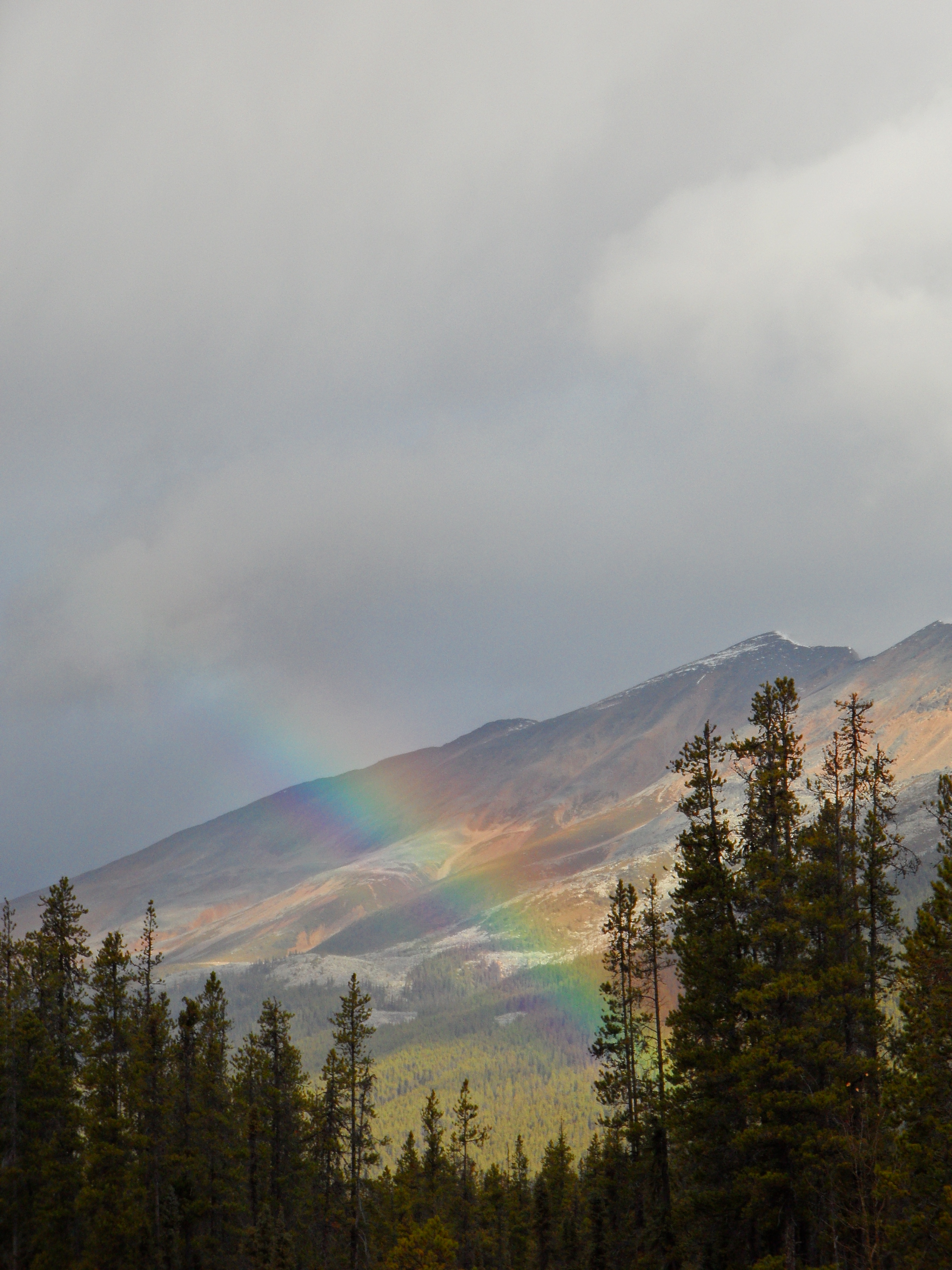
There was a hotel and restaurant right at the corner of the highway and the road to Sunwapta Falls. (I’m going to write Sunwapta as many times as I can! Say it with me: Sun-wap-ta) and we stopped there for hot water for tea. When we came out there was a big rainbow right over the road.
We didn’t make many more stops but we saw a big flood plain, the Tangle Creek Falls – truly tangled, several glaciers, a sky bridge, and the Icefield Center where you could by a meal and tickets for the sky bridge or for a bus ride on a glacier. When we were about 30 minutes out of Lake Louise, I switched seats with Dick and he drove the rest of the way.
When we got to Lake Louise Village, we stopped at the visitor’s center to ask about hiking and laundromats. The laundromat was the guest laundry at the Lake Louise Inn. There were two washers and two dryers. No waiting. We started our two loads of laundry and played cribbage until it went into the dryers. Then we set out to see the hostel across the road. Compared to the Whistler Rd. hostel it was very large and deluxe. We had a good look around and got cups of tea in their cafe. By then our laundry was almost finished. We finished our game, folded our clothes, bought lunch groceries and drove up to the Chateau Lake Louise.
What a gorgeous hotel and setting!

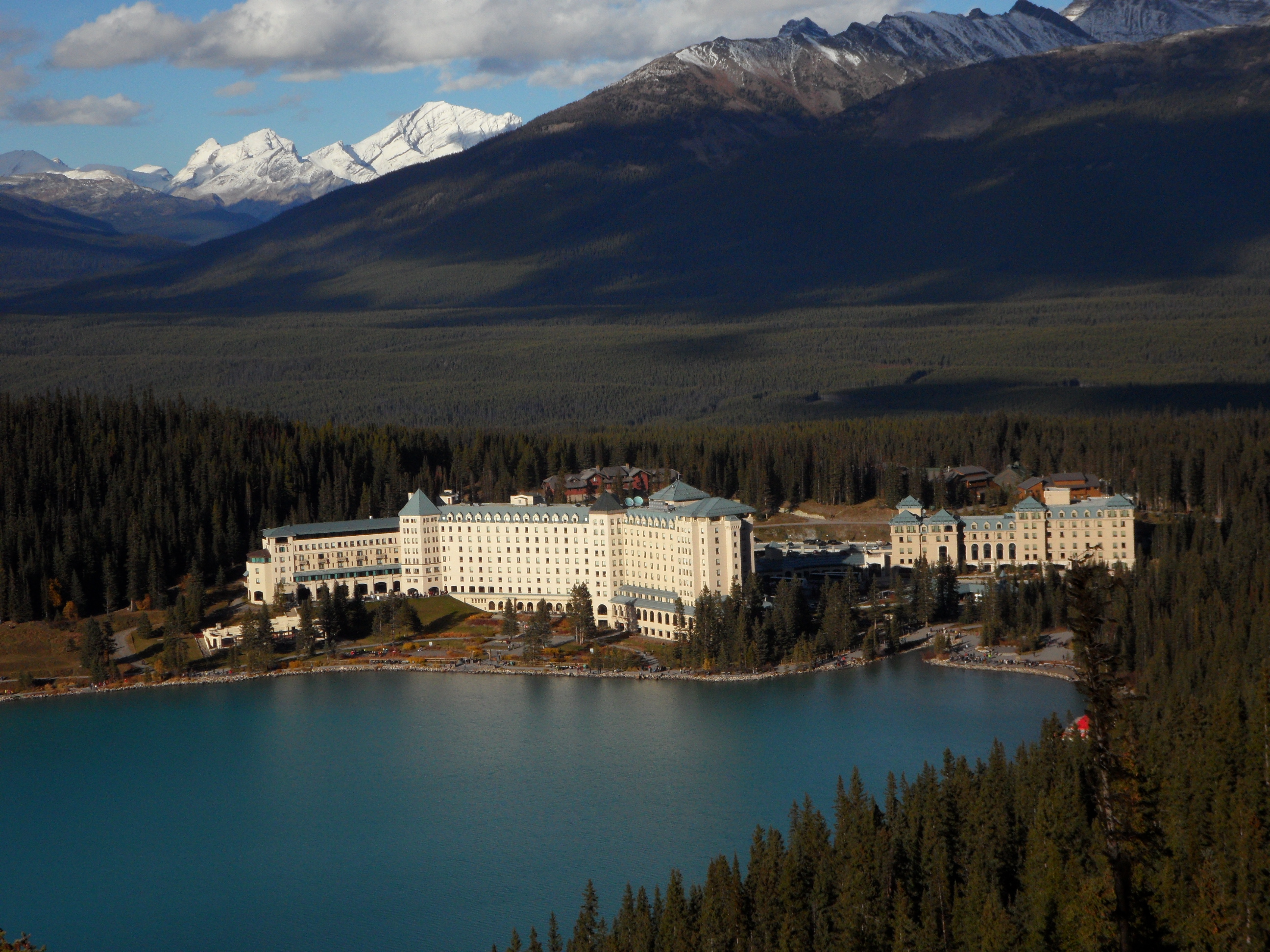

Our room was on the 4th floor overlooking the roof and heating system – the price was right. We never spend much time in our room so we were fine with that. We ate dinner in the Lakeside Lounge at the best table in the place! After dinner we walked all around the hotel – many shops, a gallery of mountaineering history in the Canadian Rockies, great people watching.

In the morning, we went to the hotel deli for lattes and to get 2 cups for our granola. When we got back to our room the housekeeper was there so we chatted with her while we ate and she worked. All the help comes to work at the hotel temporarily. They live in dorms behind the hotel and everyone we talked to was cheerful and hospitable.
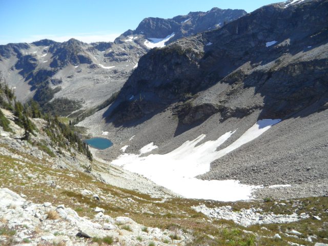
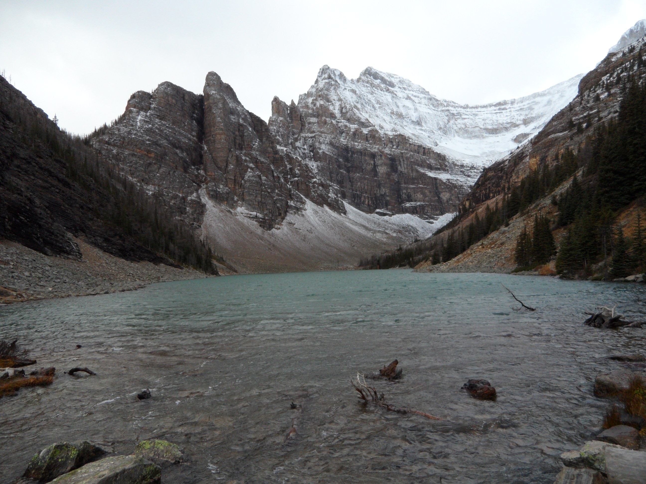
Our goal for the day was to hike to the Lake Agnes Tea Hut. It was a cool and gusty morning so we wore our jackets. I was wishing for gloves for the first half of the hike. The trail paralleled Lake Louise as it climbed toward the Tea Hut and there were many spots with spectacular views.


As we went along, there were occasional strong wind gusts. We stepped over two freshly fallen trees and heard another tree falling. Dick said, “If you hear a tree falling, run in some direction!” On our way back down we came upon a tree across the trail that hadn’t been there when we went up. Makes me wonder about our hiking judgment. We stopped briefly at Mirror Lake and then started on the serious climb to Lake Agnes.

When we got to the falls the trail became a stairway. While we were climbing the stairs we were protected from the wind by the hill. As soon as we took the last step up the stairs we came into the full force of the wind – Wow! It was beautiful at Lake Agnes and Dick wanted to take pictures of the waterfall, the lake, and the surrounding mountains. There was a small bridge (with no railings) over the creek that exits Lake Agnes and becomes the waterfall. Dick was able to stand on it, but I was being blown too strongly by the wind. I got across it as fast as I could and then, safely on the other side, braced myself to so I could stand and take a look around.


There were lots of people at the Tea Hut. It was the last weekend it would be open for this season. When we went in, it was jammed. There were only 2 open “stump stools.” We claimed them and joined another couple at their table. We learned right away that they were visiting from Perth, Australia. We talked and talked and then walked down the trail together and then sat in the Lakeside Lounge and talked for a few more hours. Andrew and Pene, our new friends from the Southern Hemisphere.

After they went back to their hotel, we made our dinner reservations at the Poppy Brasserie and went out to hike up to the Fairview Lookout. It was another out and back trail with a good view of the lake and hotel.
We were so interested in the geology of the mountains that we stopped at the hotel book store to see if they had a book that would make what we saw even more interesting. They had just what we wanted…Ben Gadd’s Canadian Rockies Geology Road Tours…”The complete roadside guide. Fossils, formations, folds and faults presented in plain English.” The first 100 pages reads like a simplified version of Geology 101 and makes the sections on specific road logs easy to understand. We highly recommend this book if you are traveling to the region.
10/12 – Canadian Thanksgiving Day, Lake Louise to Banff & Canmore
On our way out of town, we made our usual stop for lunch groceries and then headed south on Hwy 1A. This road parallels Hwy 1 – just to the east of it. We only made a few stops. Castle Mountain, a big view of Bow River, Moose Meadow – no moose, and the Johnston Canyon view point – it was closed.
In Banff, we started out at the Info Center as usual and then walked around town. Banff is a tourist mecca – crowded with shoppers. We went to the 1st Nations museum. We tried to go to the National Park museum but it was closed for the season. We visited the Whyte Museum gift shop. When we were finished with the town, we drove to the Bow River Falls and hiked up a small hill to get a good look at the falls from several different vantages.
We went to the Banff Center (a school for art and creativity) for a look around.
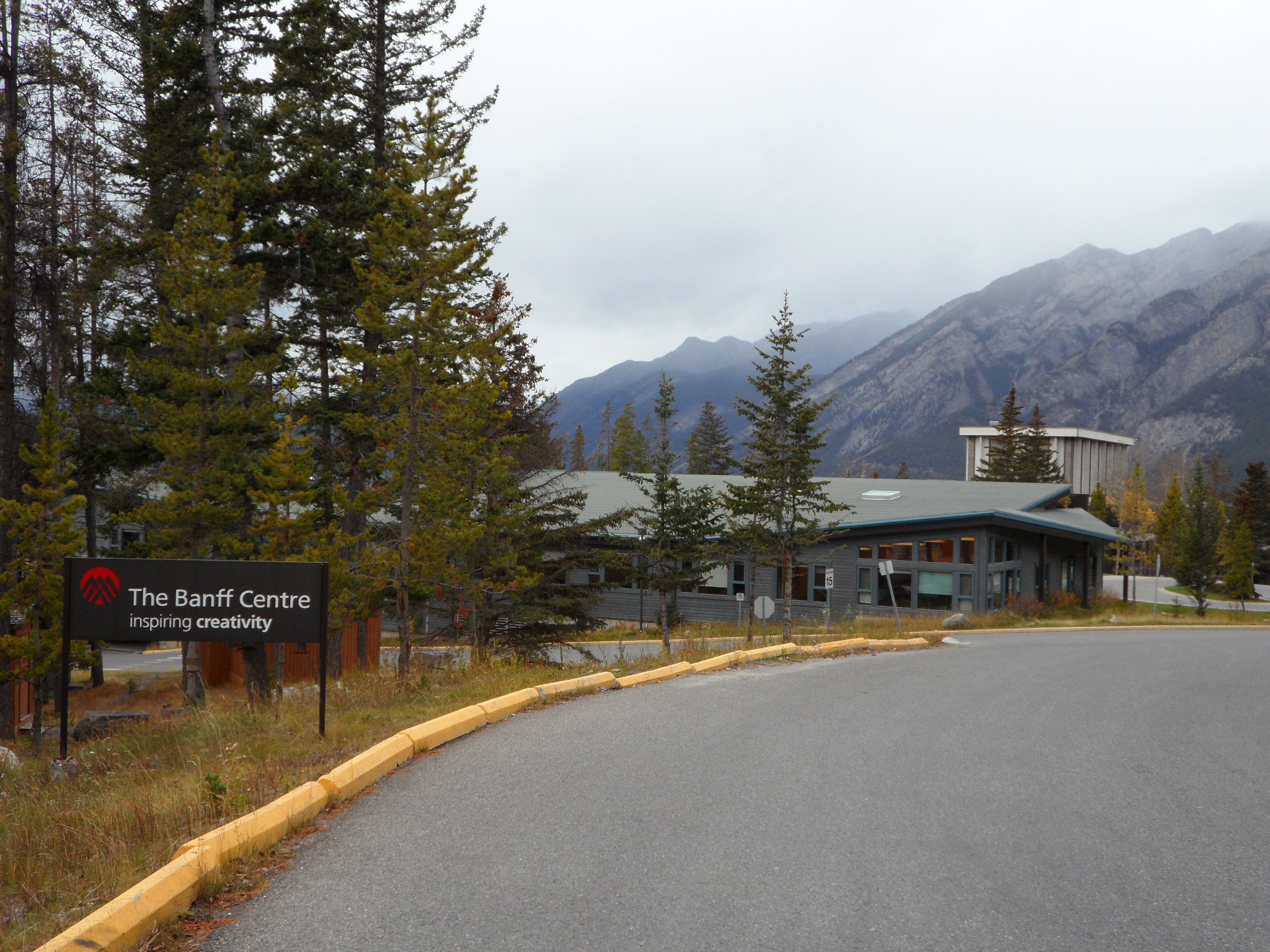

Banff Springs Resort from the Banff Centre
I remember my mother talking about this place even when I was a child. She always wanted to take some classes at the center but never got to. We were looking around for her as much as for us. Almost everything looked closed but we saw activity at the Sue Borden Recreation Center and Dining Halls. We went in for a look and two nice guys at the restaurant helped us with info and made a dinner reservation for us.

The Three Ravens Restaurant at the Banff Centre
We checked in at our AirBnB in Canmore and met our hosts, Neils and Chrissy and their boys Arnold (5) and Solomon (3) and their dog, Shield. We stashed our stuff and got familiar with the place and headed right back to Banff for dinner. We thought Tunnel Road might be a short cut but it was only a beautiful drive – nothing short about it. We saw 2 campgrounds and we did miss the crush of traffic through the middle of town, so we were happy. The restaurant is on the 3rd floor (the top floor) of the Sue Borden Recreation Center and Dining Halls and all the walls are glass, floor to ceiling. The guy who made our reservation earlier remembered us when we arrived and offered us any window seat we wanted. The view of mountains and valleys is terrific. We had a perfect window seat, and just below us we could look through the glass ceiling of the pool and right into the swimming pool and hot tub. There were a few people playing in the pool and sitting in the hot tub but no one was swimming laps. Our server, Maddie, was from Australia and there she is a dental nurse. She is in Canada on a two year work visa having an adventure. Since it was Thanksgiving Day, we had Thanksgiving dinner – turkey, stuffing, mashed potatoes/polenta, gravy, veges. It was delicious. For dessert we had a sampler of 3 different treats. A really delightful evening. The Banff Center was very quite both times we were there but we learned that on Tuesday, they were expecting 300 people to arrive for a conference. The place would feel different with all that activity.
When we got back to Canmore, we learned that we had not closed our room door well and that Shield had eaten all of our cookies! We visited a bit with Neils and learned that he is a cabinet maker. Our room was next door to Chrissy’s painting studio. You can look at her work here. Her paintings were hanging all around the house – we loved them!
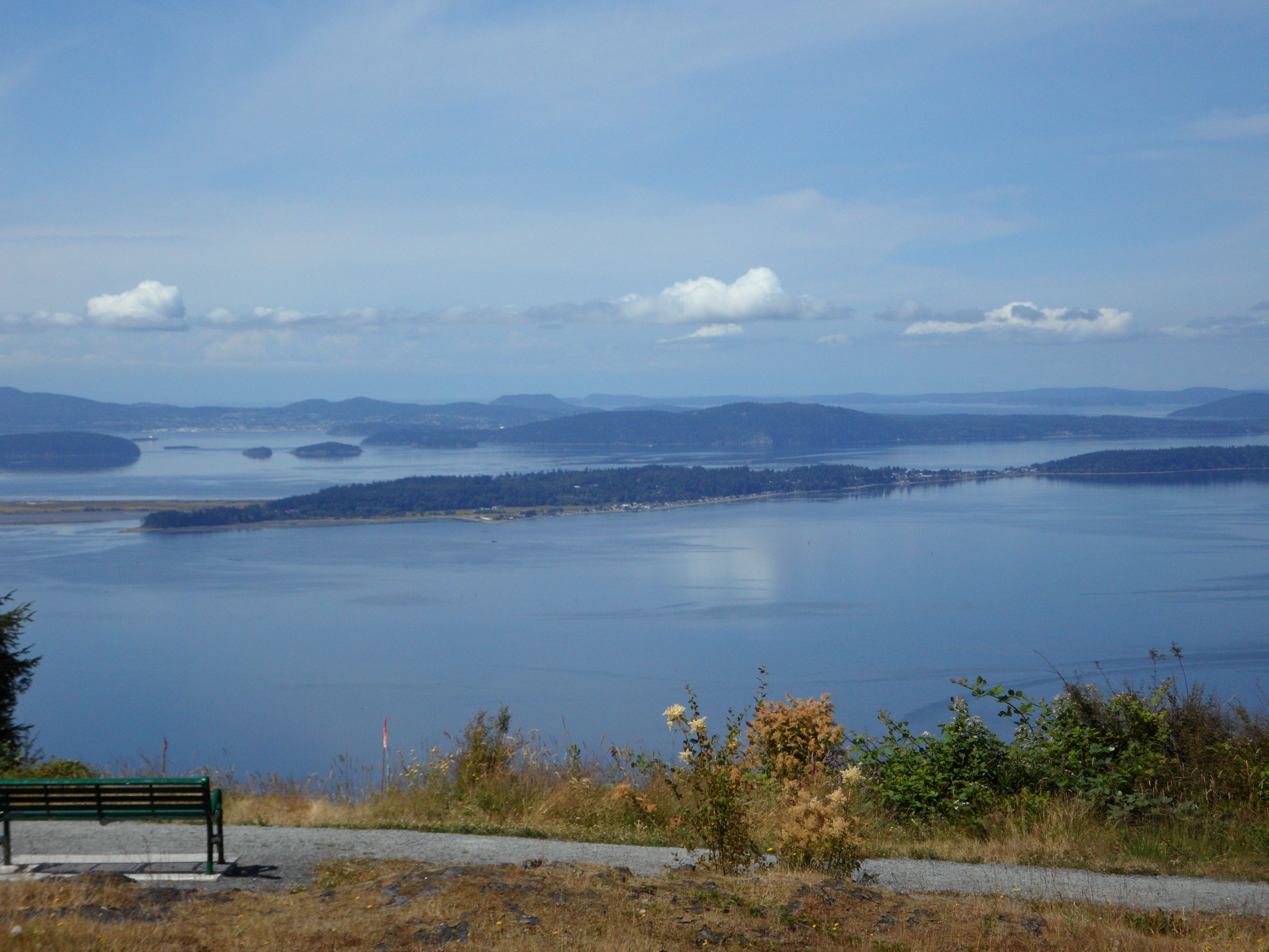
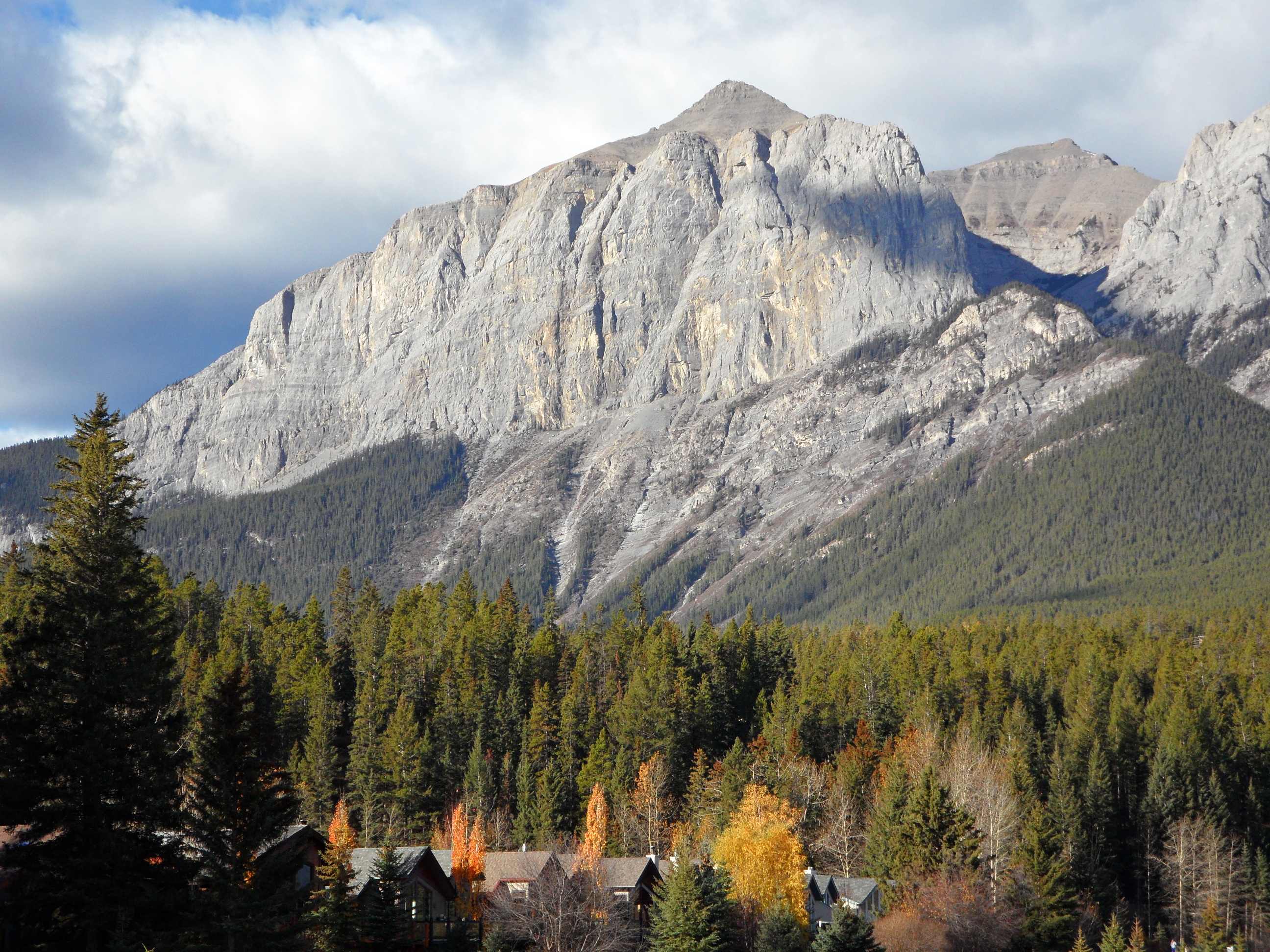
We ate breakfast with the family both mornings we were there. We enjoyed being part of their normal routine and got well acquainted even with the little boys. On our one full day in Canmore, we walked around town…

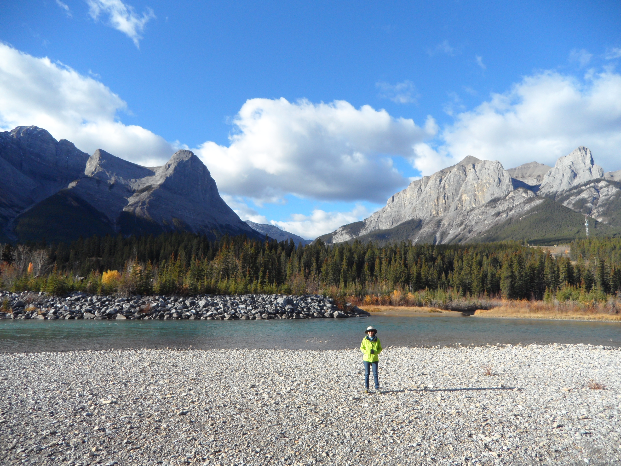
…and along the Bow River trail in the morning…

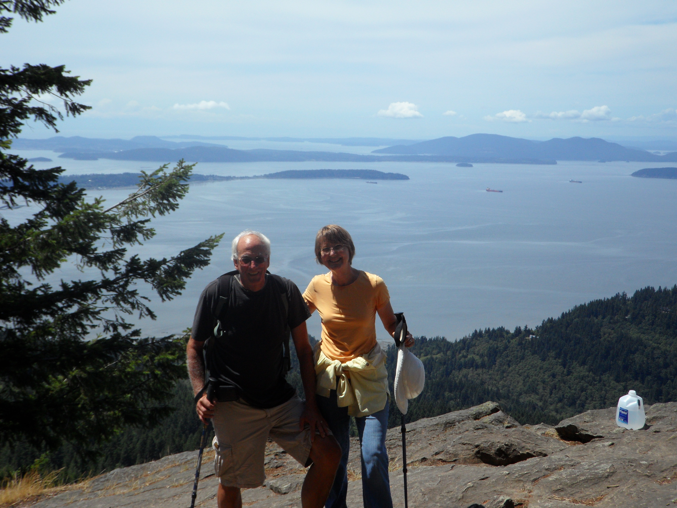
…and then, after lunch (a bagel shop) we hiked to Grassi Lakes. Everyone who we polled about things to do in the area said this was the must-do hike. The gal at the info center, suggested that we hike up the difficult trail and down the easy trail. She told us that the views were better that way and she was right.

When we started out, I was thinking it would be a good hike with any of our younger grandgirls. After a bit, though, we started to climb (we gained 924 ft over 1.7 km) and began to be able to see the waterfall ahead,

then we were walking through streams that were part of the lower waterfall and needing to rock hop, then we came to tall stone stairs with a hand rail, of sorts. I changed my mind about taking kids on the hike and I figured out why we went up the difficult way and not down it. That would be sketchy! The views were wonderful and the waterfall was gorgeous. At the top, we were at the two Grassi Lakes.


Grassi was an Italian who arrived in Canada in 1916, when he was 26, to work in the coal mines. He made the trail to the lakes that were later named for him, and many other trails as well. He was a beloved character. We did take the easy way down and were glad we did
.
We went back to the house for a rest and then went to Safeway for lunch groceries for our drive to Vernon and then home. We went to Crazyweed for dinner (no, no pot) and had a delicious meal with a view of the mountains and the sunset. After dinner we organized our stuff for the drive home, so we’d only need to take one bag in with us at Raj and Seema’s hotel in Vernon.
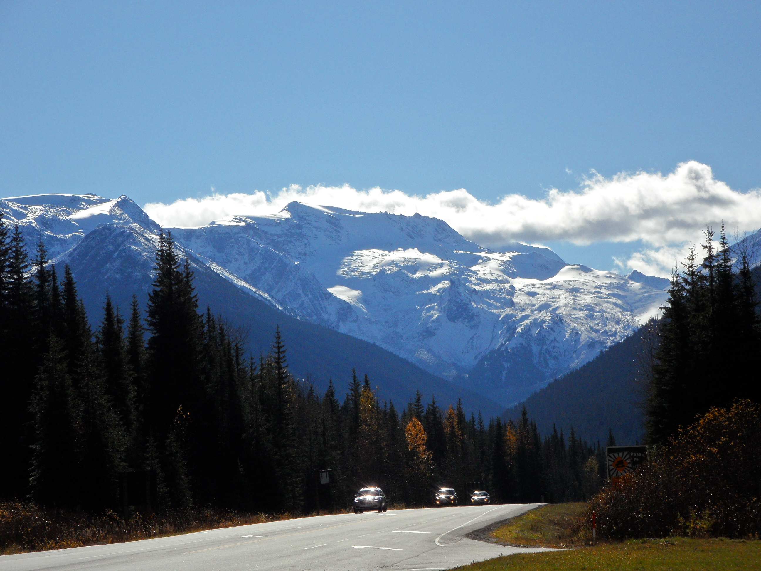
It was a long and beautiful drive to Vernon. We crossed the Columbia River near its source at Golden, BC. Interesting fact. The Columbia flows NORTH for the first 200 miles or so. This confused the early explorers searching for the source of the Columbia. We went through Yoho National Park; Revelstoke; Glacier National Park and over Rogers Pass (with lots of snow sheds).
Rogers Pass
Rogers Pass

The Columbia River at Revelstoke
Click here to view ALL the pictures from this trip.
Raj and Seema’s hotel is very nice! We had a comfortable, well decorated room.
And, of course, their hospitality can’t be topped. We had dinner at their new house. They have built their home for life and it is gorgeous. They have wonderful views of the mountains and Lake Okanogan.
Click here for pictures of the visit to Raj and Seema’s.